
Trekking the Inca Trail - Entering the Sun Gate at Machu Picchu
- gaylemabery
- Sep 11, 2025
- 6 min read
Updated: Oct 3, 2025
We were up and eating breakfast at 6:00 am for our 6:30 departure on what would surely be an unforgettable day! Scott’s symptoms from yesterday (see that post here) had subsided considerably, so we were both ready to tackle the trail and set eyes on Machu Picchu for the first time.
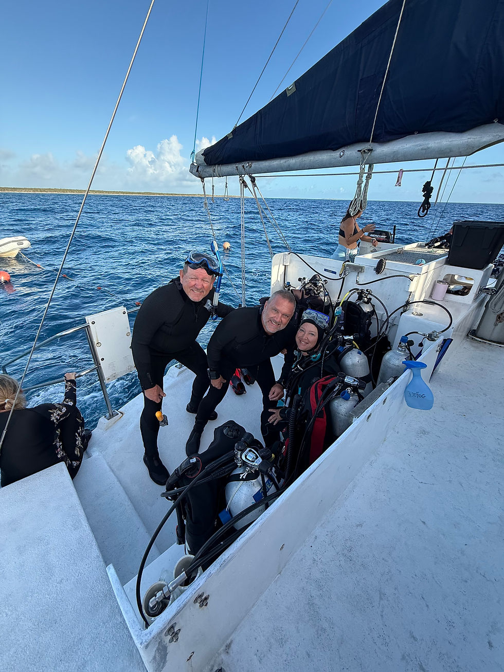
We travelled by car to the Inca Rail Station in Ollantaytambo. From there we would ride the train for about 90 minutes to KM 104 at Chachabamba, where passengers who are hiking the Inca Trail disembark.

The train ride was spectacular, with windows on all sides and on the roof so we could see the stunning scenery along the way. We passed through the many agricultural fields of the Sacred Valley (lots of corn!), some of which were terraced by the Incas and are still in use today. The Urumbamba River courses along next to the train tracks, tumbling down steep gorges filled with granite boulders, on its journey to the Amazon River. The towering mountains of the Peruvian Andes were visible all around us. Eventually, the landscape transitioned from farmlands to jungle, and we knew we would soon start the trek.

We disembarked the train, took the trail over a bridge across the river, and entered the trailhead at Chachabamba with an assortment of other hikers. The elevation here is 7,053 feet (2,150 meters). There were bathrooms at the trailhead, so Gayle took the opportunity to take off a couple of layers of clothes. We had been so used to hiking in the cold country, that the jungle heat caught her a little off guard. We both had a long-sleeved shirt (to guard against bugs and sun), and had hiking pants that would convert to shorts if needed. At Saul’s recommendation, Gayle bought some bug repellent from a vendor, and we applied it to any exposed skin.

Shortly after starting the hike up the Inca Trail, we found the Chachabamba ruins. Discovered in 1940, these ruins are located on the old Inca road that ran along the southern bank of the Urubamba River. The style of buildings and stonework suggest that this used to be an important religious site, as well as having the secondary function as a gate house guarding this entrance to Machu Picchu. You can see an alter in the lower left photo of the collage above.
Early in the hike, we also learned that the Incas covered many of the trails leading from Ollantaytambo to Machu Picchu during the Spanish invasion. Because of this strategy, the Spaniards never found the path to Machu Picchu, and the great city remained untouched during the conquest (and thereafter, until its rediscovery in the early 20th century).
There was an abundance of beautiful pink orchids along the trail, along with other colorful jungle plants.

We learned pretty quickly that today would be Gayle’s challenging day. The first three miles of the trail were pretty much in full sun, as today’s clouds gathered in the west and never offered any relief from the intense rays. The jungle heat was getting to her.

Layers started pealing off, first the zip-off shorts, then eventually a change from the long-sleeved shirt to short sleeves. The electrolytes were being heavily consumed! Saul unloaded the sack lunch that he had provided to lighten her pack, which made a big difference! It is amazing how much that lunch weighed!
Without that extra weight, and focused on what lay ahead, Gayle kept pushing forward. About an hour and a half into the hike, we got our first views of Wiñay Wayna, which is roughly halfway to Machu Picchu and is an impressive site. It would still be another hour before we would reach Wiñay Wayna but seeing it gave us extra inspiration!

There is a beautiful, cold waterfall that cascades behind the trail shortly before you reach Wiñay Wayna. What a relief to splash some cold water on our necks! Gayle soaked a bandana with water and felt instantly refreshed with it wrapped around her neck! We had a nice break at the waterfall before the final push to Wiñay Wayna.

Wiñay Wayna, “Forever Young” in Quechua, is perched on a steep hillside at about 2,650 meters (8,700 feet) above sea level. The ruins feature beautifully preserved stone terraces, ritual baths, and residential structures, showcasing classic Inca architecture and ingenuity. Surrounded by lush cloud forest (although lacking those clouds on the day we visited), Wiñay Wayna offers both historical significance and breathtaking views, making it one of the most memorable stops on the trek to Machu Picchu. On first arrival, we took off our packs and enjoyed the views from the lower levels of the site.

After lingering for a while, it was time to make the climb to the top of the ruins. More full sun, but the promise of a much shadier trail after we passed this site kept Gayle motivated.
Yes, it does seem like everything in Peru is build on hillsides with steps! Those Inca people were master step builders! The opportunity to experience it is absolutely worth it!

Very shortly after Wiñay Wayna, there is a large rest stop where the trekkers on the multi-day Inca Trail hike typically camp. We stopped here and ate lunch on benches in the shade. When we pulled out the lunch bags, it was obvious why it was so heavy! A glass bottle of orange juice, large piece of fruit, about 5 individually wrapper snacks, and a to-go container of delicious quinoa, sweet potatoes and chicken! We ate as much lunch as we could, and then packed up all the trash to take with us (there is no trash service up here, so it’s the Pack It In, Pack It Out principle

At this point, Gayle realized that she’d have to conserve the rest of her water, as she’d lost a 1/2 liter bottle on the train. After consuming about 1 1/2 liters to this point, she was down to about a 1/2 liter of water left and still had 3+ miles to go. To her relief, when we were about 300 yards down the trail, and outside of view from the camps, Saul reached into the jungle next to the trail, and pulled out a 3-liter bottle of water he had stashed on previous hikes! He filled Gayle’s bottle back up, and stashed the water again for his next thirsty client!
As promised, the vegetation was thick and the trail quite shady after we passed Wiñay Wayna. As we had approximately 3.5 miles to go to reach the Sun Gate at Machu Picchu, Gayle was very glad for the shade!
The builders of the Inca Trail were not just expert craftsmen, but they carefully considered the needs of travelers along the way. In addition to large sites like Wiñay Wayna, they build small rest areas along the trail.

We took advantage of a few, and at this stop, Saul said he wanted the extra energy from some coca leaves and taught Scott about using charcoal to activate the leaves. Instead of just chewing the leaves by themselves as usual, adding a tiny piece of charcoal enhances the effect, even to the point of making Scott’s mouth a little numb!
Little did we know that Saul had an ulterior motive in taking a long break at this rest stop. Around the corner we’re the Monkey Steps. One of the last big pushes before we’d reach Intipunku, the Sun Gate. These steps were some of the steepest we’d encountered . He encouraged us to use our hands for balance on this section. Gayle used her poles, and Scott managed without poles or his hands.
Ten minutes after climbing the Monkey Steps, with a steady climb all the way, we reached the Sun Gate, or Inti Punku, at an elevation of 9,022’ (2,750 meters).
As the name suggests, the "Sun Gate" was the symbolic and strategic entry point for visitors to the sacred citadel of Machu Picchu, marking the final section of the ancient Inca Trail. From Inti Punku, ancient and modern visitors have one of the best and most iconic views of the Machu Picchu complex and the surrounding Andean mountains. Its high location provided guards with a strategic vantage point to control and monitor the flow of people entering and exiting the city.
Seeing Machu Picchu for the first time is a moment of profound awe—one that almost left us speechless. After hours of trekking through the rugged mountain paths, we emerged through the Sun Gate and there it was: the lost city of the Incas, cradled between towering peaks, as if suspended in time.
The grandeur of the stone citadel against the backdrop of steep, green mountains feels almost unreal. You can’t help but wonder how they possibly chose this site, and the enormity of the undertaking to build this city. The entire scene stirs a deep sense of wonder. It’s not just the beauty that moves you—it’s the realization that you’re standing in a place where ancient hands shaped a city in perfect harmony with nature, high in the Andes. It feels sacred, timeless, and humbling—a rare glimpse into something truly extraordinary.

For the next blog post about our time exploring Machu Picchu for the first time, continue here.


Comments